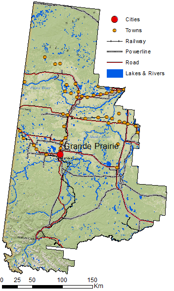
For Lab #3 – Cartography, students will need to make a mask to cover parts of the Alberta Land-Use Framework integrated regional plan. This mask will enable you to focus on one section of Alberta and cover up the rest of the shapefile. You can also use a mask as a transparency to focus attention to a specific area.
Instructions:

Step 1. Create a new shapefile. (Right click on the folder in ArcCatalogue and click New -> Shapefile.) Give it a name and change the feature type to polygon. Make sure to assign it a Spatial Reference (you can use the LUF shapefile to import its projection).
Step 2. Turn on Edit from the Editor toolbar. Click on Create Features (or it will pop up) and add a large rectangle shapefile around Alberta from the Construction Tools. Save and stop editing.
Step 3. Union the new shapefile with the LUF Integrated Regional Plan
Boundaries.
Step 4. Using the Select Feature click on the section you are working with. Turn editing on and click delete. Save and stop editing.
Step 5. Use the Dissolve tool on your shapefile to get rid of the boundaries.
Video:
https://web.microsoftstream.com/video/279ef5cf-7849-4535-892a-369e6b99254c
